
These projects push equipment, teams, and budgets to their limits. So, what separates a successful, efficient project from one bogged down by delays, cost overruns, and uncertain data quality?
The answer increasingly lies not just in operational execution, but in the strategic technology choices made long before the first geophone is planted. Leading contractors understand that the modern seismic landscape demands more than brute force - it requires a nuanced understanding of available technologies and tools and how to deploy them effectively to deliver consistent results.
The strategic shift: beyond Cabled vs. Nodal
For years, the primary debate in complex terrains has centered on cabled versus nodal systems. The advantages of nodal systems are clear: their flexibility, wireless design, and reduced dependence on physical infrastructure make them a natural fit for rugged, hard-to-access areas. They minimize environmental impact and adapt to uneven ground in ways traditional cabled systems simply cannot.
However, seasoned professionals know the decision isn't that simple. Cabled systems provide unparalleled real-time quality control (QC) and on-demand instrument testing. In environments where equipment loss is a real risk, such as sand dunes or heavily trafficked areas, knowing your data is secure and your equipment is accounted for is invaluable.
The hesitation to use nodal systems in some open areas, for instance, stems from the risk of discovering poor-quality data too late in the process. Top contractors are moving beyond a "one-or-the-other" mindset and are instead assessing the specific risks and requirements of each project segment to make hybrid or tailored choices.
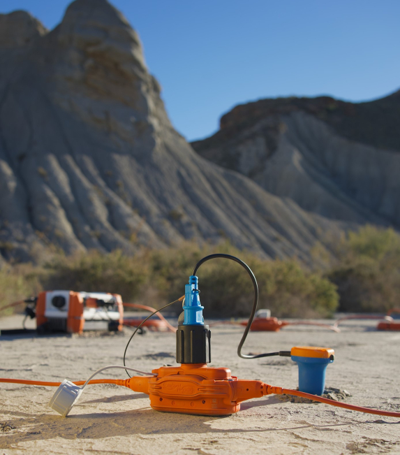
Beyond Deployment: Why Sensors and Sources Matter Most
The most successful teams know that the acquisition chain is only as strong as its weakest link. The cabled-vs.-nodal decision is just one piece of a much larger puzzle.
THE SENSOR REVOLUTION
The move from traditional analog geophones to high-density single sensors, particularly Micro-Electro-Mechanical Systems (MEMS), is a game-changer. As outlined in detailed industry analyses, MEMS sensors deliver superior data fidelity with a linear, flat response across a wide frequency range. Their immunity to data jitter - the amplitude and phase distortions common in analog sensors due to age, temperature, and manufacturing tolerances - means cleaner, more reliable data from the start. In complex geology, this level of high-quality raw data is non-negotiable.


OPTIMIZING THE SOURCE
Similarly, the choice of seismic source is critical. While fleets of standard vibrators have been the go-to, the advantages of a single heavy vibrator are gaining traction. They offer enhanced low-frequency generation and higher fidelity compared to the imperfect summation of signals from a vibrator array. This is especially crucial for achieving the high-density source grids and improved spatial sampling demanded by modern imaging objectives.
Turning equipment into an ecosystem
Ultimately, leading contractors are doing something different: they treat their technology not as a collection of standalone tools, but as an integrated ecosystem. They recognize that success depends on a holistic approach that balances operational efficiency, data accuracy, environmental compliance, and cost-effectiveness.
This is where a deep, practical understanding of the available options becomes a powerful competitive advantage. Making these complex trade-offs requires more than just a product sheet; it demands a comprehensive overview of how these technologies perform in real-world scenarios.
To help navigate these critical decisions, our experts at Sercel have compiled a definitive resource. The Choosing the Right Seismic Technology : Comparison Guide goes beyond marketing claims to provide a clear, data-driven analysis of the solutions shaping the future of land seismic acquisition.
Based on field experience, the guide presents how top contractors:
- Reducing operational risk and HSE exposure through optimized survey design
- Improving logistics efficiency in large-scale programs
- Ensuring consistent data quality across challenging terrains
- Adapting acquisition strategies to terrain and project objectives
- Making informed decisions between acquisition systems based on operational context

Make the best decision
Download your free copy of the Choosing the Right Seismic Technology guide today and discover the strategies top contractors are using to conquer the world’s most challenging terrains.