
OVERVIEW
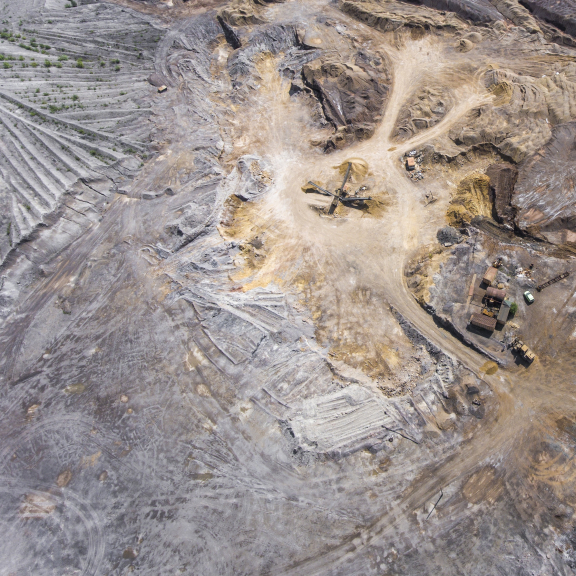
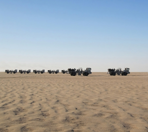
Geophysics offers powerful tools for characterizing the subsoil and identifying potential areas of mineral deposits. These methods help reduce exploration costs, minimize environmental impacts, and make informed mining decisions by minimizing the need for destructive explorations and unnecessary excavations, thereby reducing environmental impacts.
WHY SERCEL
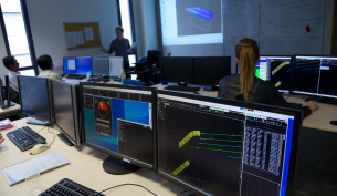
Sercel is the worldwide leader in seismic acquisition equipment designing and manufacturing ultra-accurate sensors (MEMS ,QS3) and embedded digital solutions for the exploration and monitoring of the subsurface.
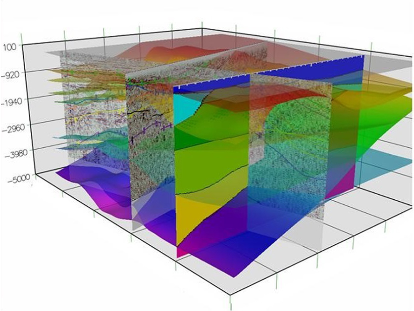
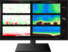
Sercel is the specialist in subsoil imaging by collecting detection and monitoring data to help decision-making by obtaining very high definition in-depth images of the underground.
These images can reveal the different layers of rocks and geological structures, which can be useful to identify formations favorable to mineral deposits.
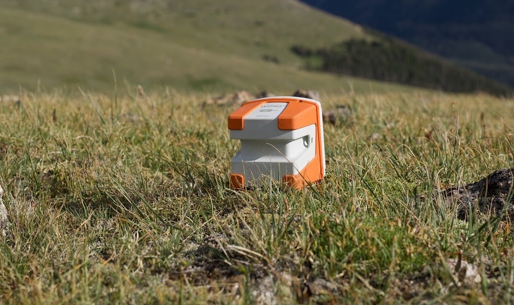
S-scan, our innovative passive seismic geophysical solution, can help provide a very deep and precise imaging of near surface.
APPLICATIONS
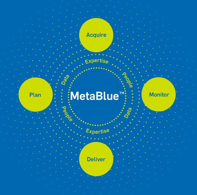
MetaBlue

HIGHLIGHTED PRODUCTS
Related market
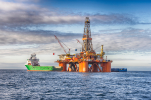
Oil & Gas
Experts from Sercel provide skills, training, and assistance on recording equipment, QC workflows, and geophysical parameters...
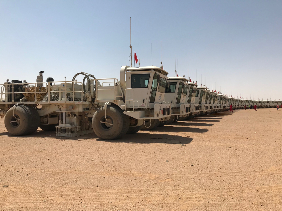
Ensure success for your next land project with Sercel’s comprehensive asset optimization program for vibrators. Our advanced...

Streamline operations management with Sercel to boost productivity, enable data-driven decisions, and enhance risk management...