Sercel at Combined Naval Event 2024
-
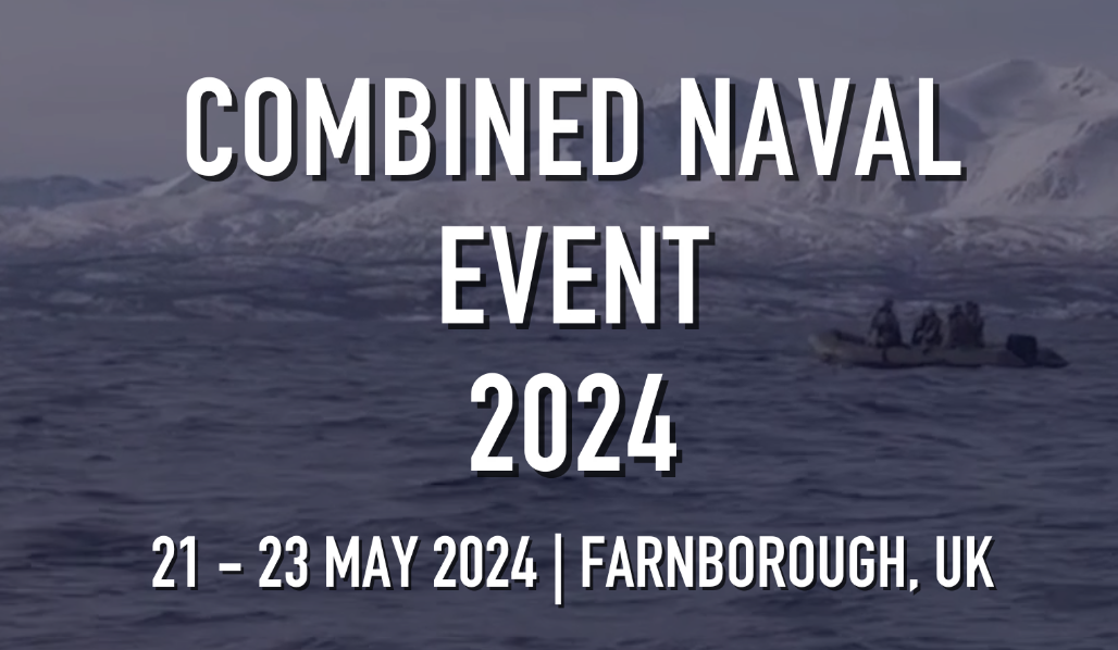
This is the 11th iteration of this meeting, the third time we have co-located three events, and the first time we have launched our Surface Fleet Technology meeting. It is a pleasure to welcome you once more to Farnborough, which with its size and links will be our home for the foreseeable future. We are looking to welcome >1,500 attendees representing >50 nations and >200 companies.