OVERVIEW
The monitoring of an asset is critical to ensure safety, longevity, and optimal performance of the infrastructure at controlled cost. A comprehensive monitoring strategy can involve various technologies and tools, including visual inspections, structural health monitoring, non-destructive testing, environmental monitoring, geotechnical monitoring, and data analytics. Effective monitoring requires a combination of expertise, specialized equipment, and data analysis to ensure that any issues are detected and addressed in a timely and effective manner.
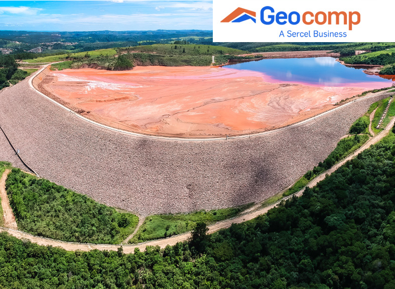
Geocomp, a Sercel Business, has mastered all project monitoring processes and mastered specific and innovative technologies ensuring that the solutions are implemented and maintained to the highest standards to guarantee optimum geotechnical monitoring.
Sercel technologies