Overview
MESA software suite

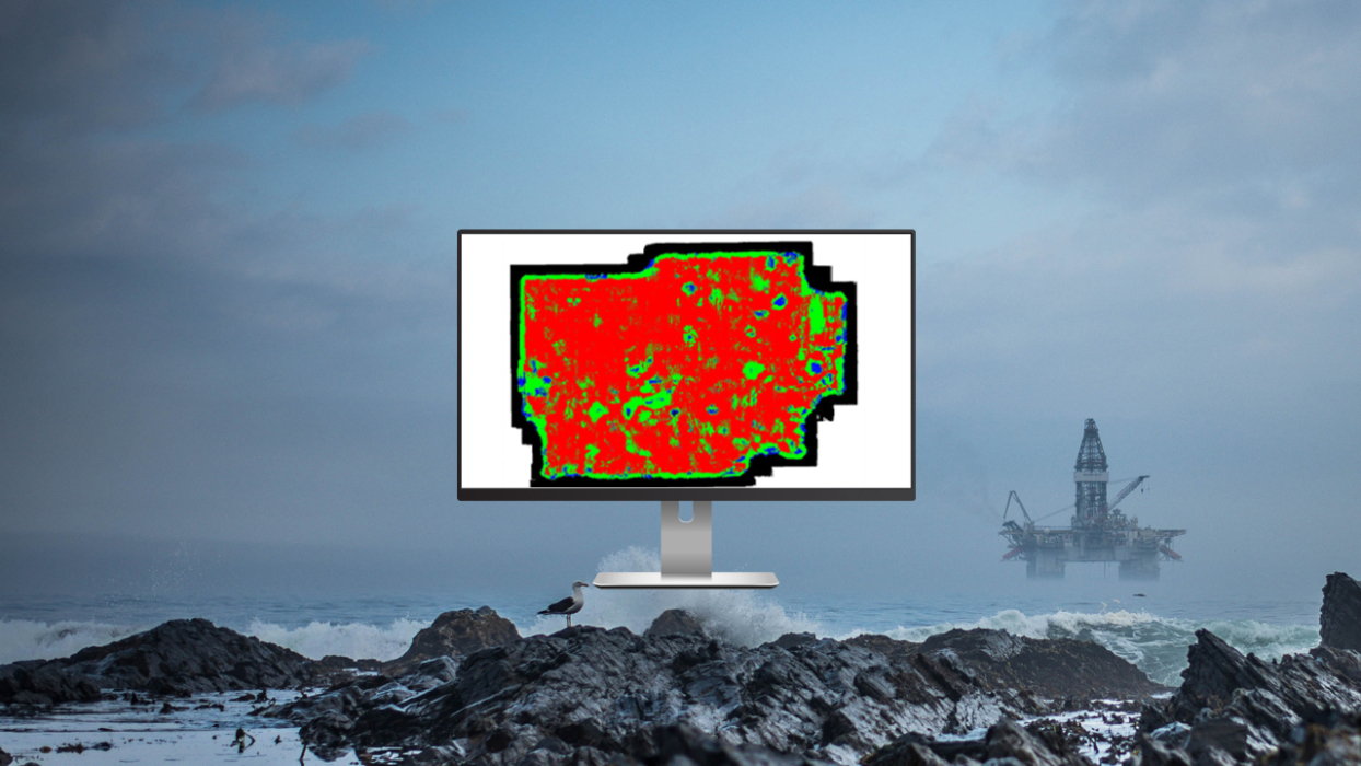
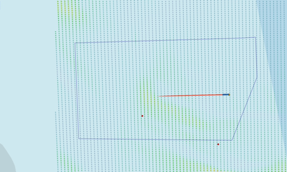
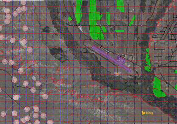
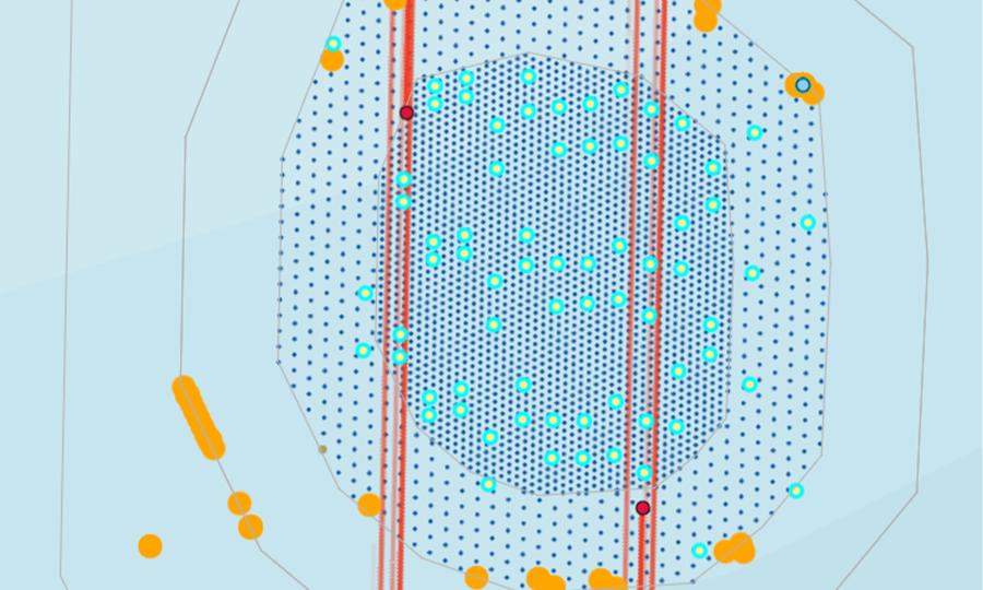
MESA: Seismic survey planning and design software
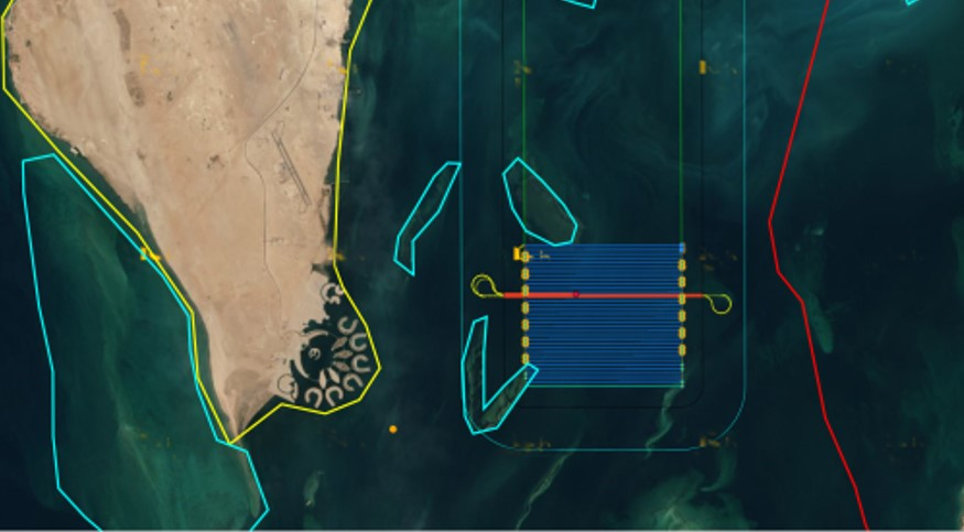
- MESA SimSurvey: Flexible cost and operational simulation software for offshore seismic
Highlights
It is critical that accurate decisions are made at the start of the survey design process. Reliable and robust tools are needed to analyse the imaging objectives of a seismic project.
MESA software addresses those needs for both onshore and offshore scenarios by streamlining survey design and planning workflows.
MESA SimSurvey extends MESA by allowing users to simulate acquisition logistics and assess operational efficiency. The module performs detailed time-and-motion studies to help estimate survey duration and cost, compare different acquisition strategies, and identify the most efficient plan for offshore projects.
Together, they allow operators to plan and optimize projects, from survey design to operational execution.
Insights
Key Benefits

OPTIMIZED PLANNING
Optimize survey design and planning across land, marine, and transition-zone environments
REDUCED RISK
Improve decision-making and reduce risk early in the project lifecycle
COST EFFICIENCY
Evaluate time and cost implications before mobilization
BETTER COLLABORATION
Increase collaboration between design and operations teams
UNIFIED PLATFORM
Use one integrated suite for geometry design, time analysis, and cost estimation
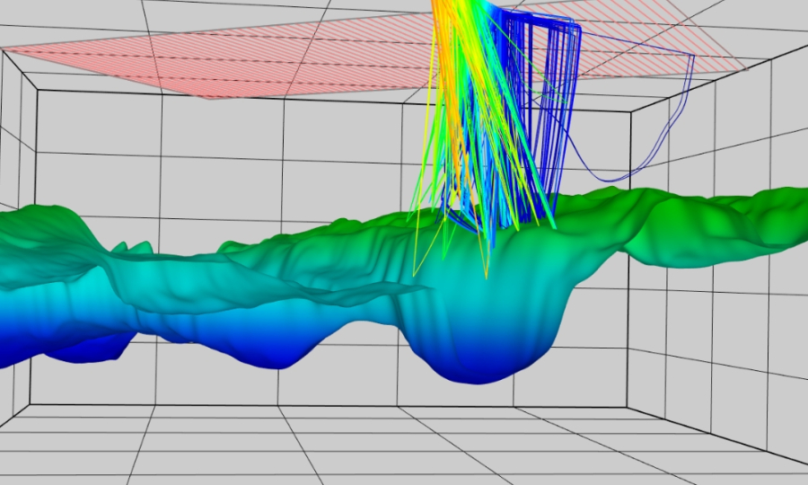
Sercel NORSAR Collaboration
Sercel NORSAR Collaboration
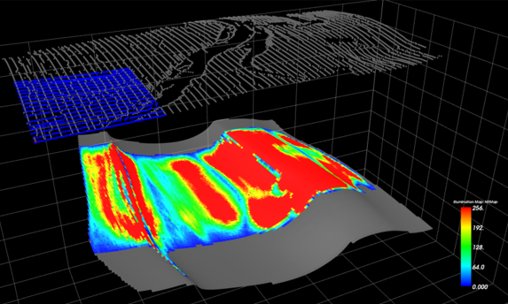
DYNAMIC SEISMIC MODELLING FOR SURVEY OPTIMIZATION
The connector between MESA® Expert and NORSAR-3D® allows our users to share data across our products to design optimal survey acquisitions in the most challenging environments, both on the surface and the subsurface.