
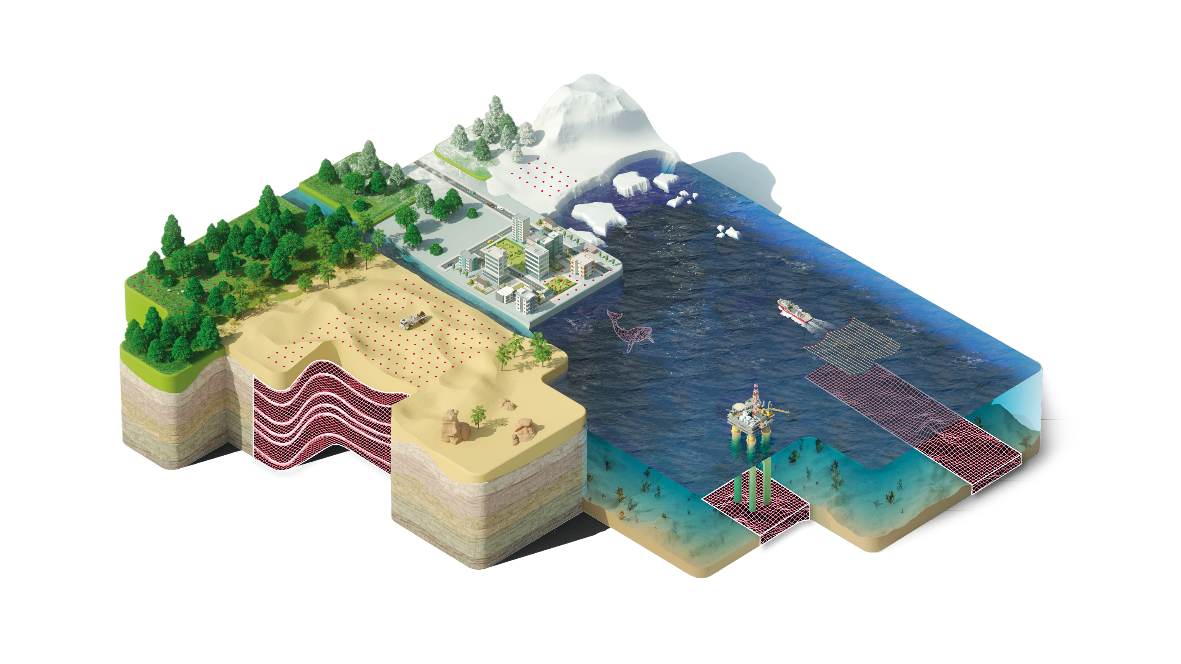
Overview
Energy companies play critical roles in the discovery, extraction, and management of the Earth's oil and gas. They also bear a tremendous responsibility to manage projects sustainably and minimize their environmental impact. Modern seismic surveying is an incredible enabler of this mission. It provides non-intrusive, accurate insight into the Earth's subsurface with a small footprint and minimal environmental disturbance, and it can be used anywhere, including the world's most naturally sensitive areas or congested zone.
WHY SERCEL

Field-proven, sustainable solutions for the toughest challenges: 60 years+ of innovation and supply commitment to the sector.
With unmatched industry expertise, Sercel is the specialist of integrated solutions for any surveying location, any subsurface prospect and any seismic operation. With leading-edge seismic equipment and industry-proven seismic data acquisition systems, Sercel has become the leading global provider of software systems and services for seismic operations. Sercel conducts surveys for exploration and management of natural resources around the globe.
APPLICATIONS

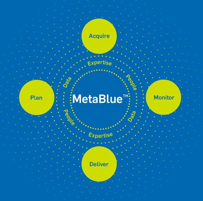
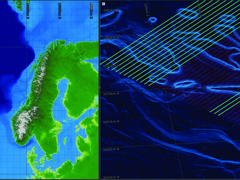
MetaBlue

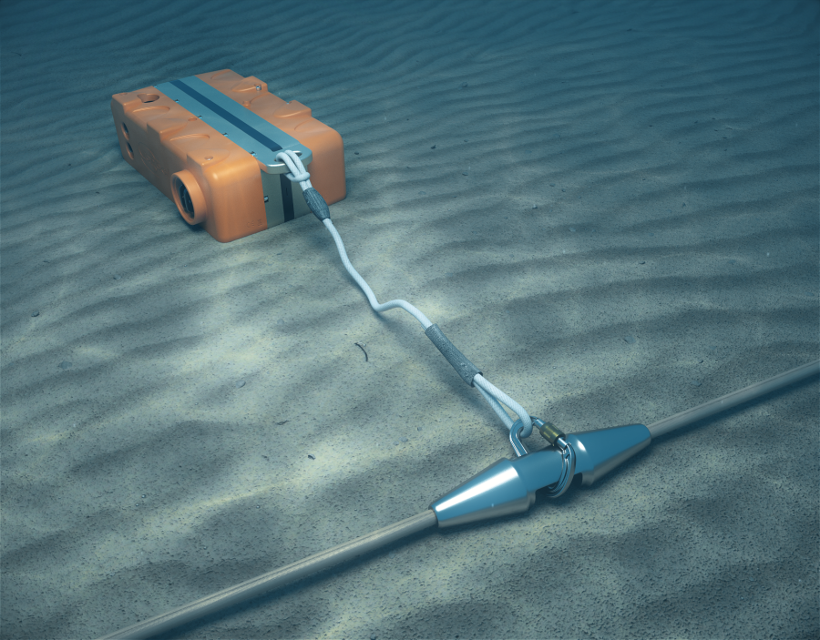
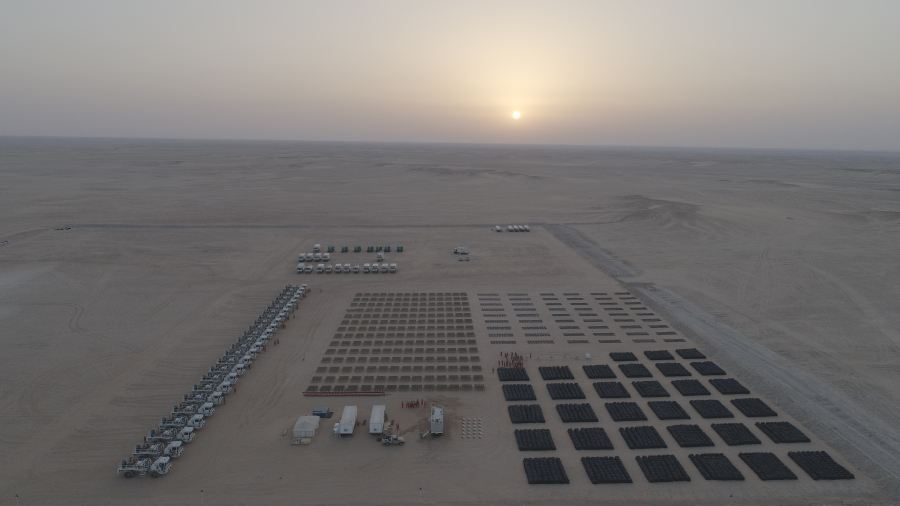
HIGHLIGHTED PRODUCTS


Get expert advice for your seismic exploration challenges
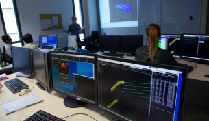
Collaborating with geophysicists daily, we understand the complexities of data acquisition and operational efficiency. Whether it’s optimizing quality control for seismic data accuracy, streamlining operations for survey success, or integrating new technologies into your workflow, we are here to help.
Experts from Sercel provide skills, training, and assistance on recording equipment, QC workflows, and geophysical parameters to ensure a quick and successful start-up. Our experienced teams will help you every step of the way.
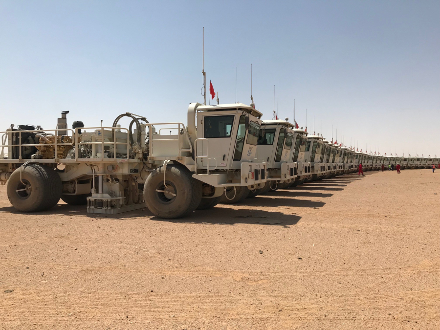
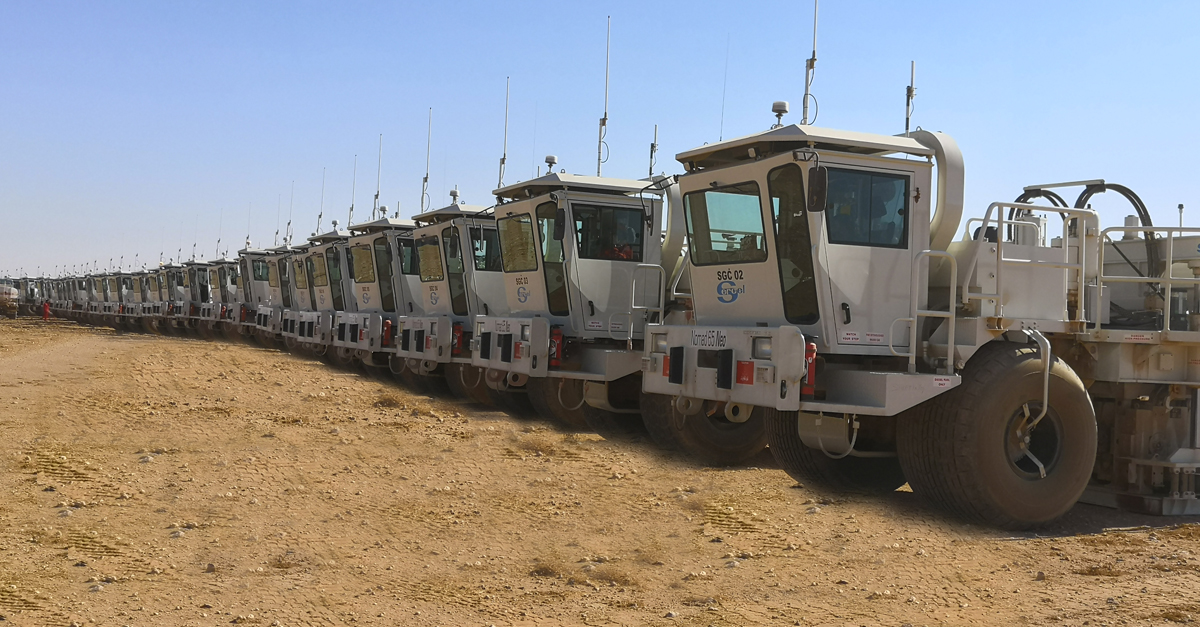
Ensure success for your next land project with Sercel’s comprehensive asset optimization program for vibrators. Our advanced health monitoring program takes a proactive, real-time approach so that you can focus on project quality, not equipment challenges.

Streamline operations management with Sercel to boost productivity, enable data-driven decisions, and enhance risk management.